 |
|||||||||||||||||
|
|||||||||||||||||
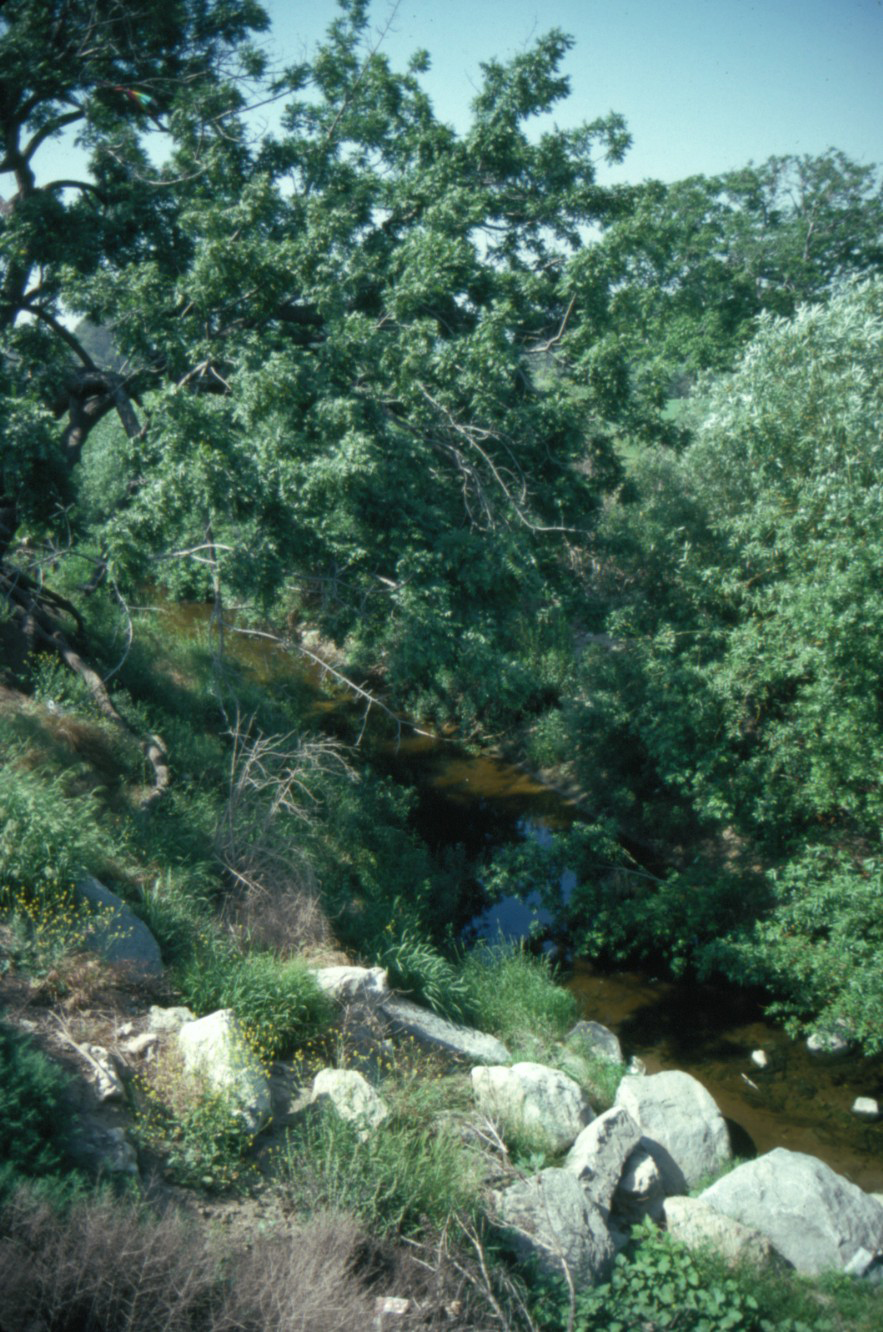
Bull Creek |
|||||||||||||||||
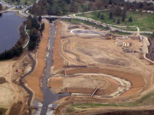
Bull Creek is located east of Balboa Blvd. and is the western border of the Anthony Beilenson Park (Lake Balboa). Bull Creek emerges from drainage channels just south of Victory Blvd., and travels 3000 feet in a straight line before it reaches and flows into the Los Angeles River. Over the years the channel has been straightened and flood flows have scoured the channel to a depth of approximately 20 feet with steep, unstable side slopes. As a result, the artificial channel cross-scetion provides little support to sustain a healthy riparian system needed to attract and sustain area wildlife. In the 1970’s, Bull Creek was one of the few remnant relatively undisturbed riparian habitats in the San Fernando Valley. Due to the degraded condition of Bull Creek, the City of Los Angeles in conjunction with the Corps of Engineers developed a restoration plan for Bull Creek, and construction began in spring of 2008. The purpose of the project is to restore native riparian and upland habitat to an area that has become severely degraded to provide additional foraging, nesting, cover, and resting opportunities for wildlife indigenous to the region, and to minimize further degradation of the existing riparian habitat. |
|
||||||||||||||||

|
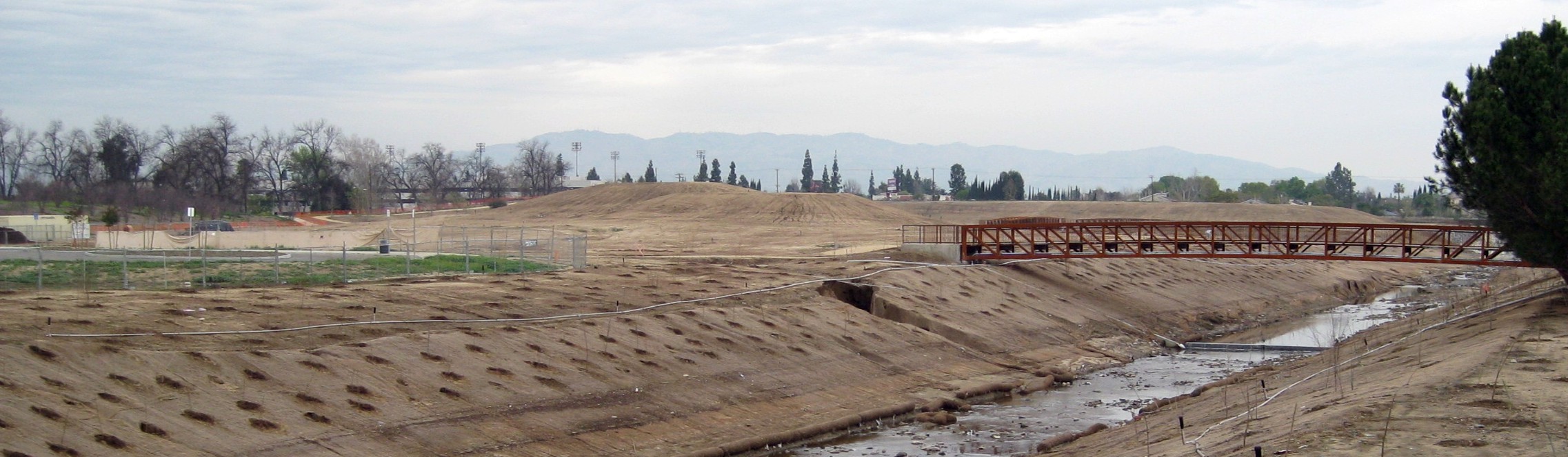
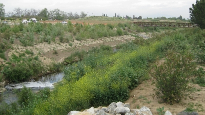
The project features include 28 acres of aquatic, riparian and native upland habitat. Creek bank slopes will be graded to be no steeper than 3 to 1. An oxbow or “C”-shaped side channel will be excavated to allow water to flow from south of Victory Blvd. around an island to the Los Angeles River. Reclaimed water from Lake Balboa will be released into the channel near the oxbow to enhance the existing flow. Interpretive nodes will be placed to offer educational opportunities. Bridges and an elevated walkway will provide pedestrian and maintenance access, and will connect to pedestrian trails on both sides of Bull Creek. The bridges will also serve as overlooks into the habitat areas. Pedestrian access from the western end of the new MTA busway station to the north will be provided. |
|||
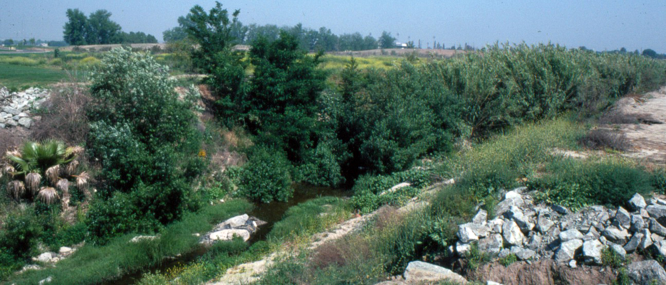
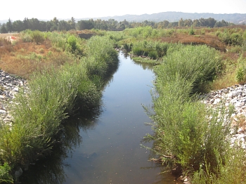
 above, the riparian vegetation along Bull Creek competes with non-native giant reed in this 2007 photograph.
Bull Creek Project Plan |
||